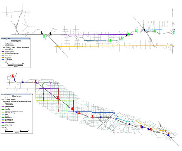
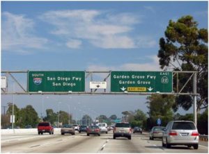
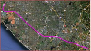
The study site is the whole SR-22 and I-405 corridors in Orange County. The State Route (SR) 22 corridor runs along the east-west direction, and is approximately 15 miles long. The west end of the corridor intersects San Gabriel River / I-605, while the east end intersects SR 55. The Interstate 405 (I-405) corridor runs along the north-south direction and is approximately 34 miles long running from the Los Angeles/ Orange County Line to the I-405/I-5 interchange.
The tasks performed for the study include demand extraction and estimation from OCTAM model for microsimulation modeling area, setup ramp metering in the Paramics simulation models, development of a macro model for each corridor, and testing 8 scenarios under either the baseline (i.e. Year 2007) or horizon (i.e. Year 2020) demands levels. The OCTAM model based SR-22 and I-405 macro focused models cover both freeways and their alternative streets. There are 5 parallel streets for SR-22 and 10 parallel streets for I-405. The models were well calibrated in TransCAD against Year 2007/2008 condition and then refined to Year 2020 condition for scenario testing.