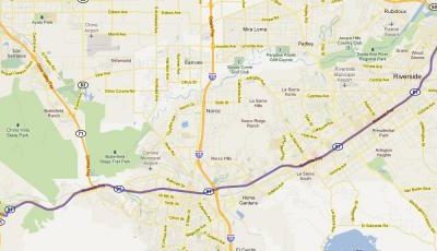
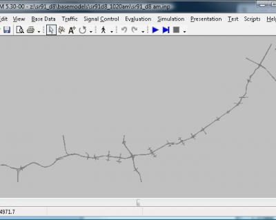
The study site is SR-91 corridor, which is 25-mile long from the SR-60/I-215 interchange in the west to SR-241 interchange in the east. It has four to five mixed-flow lanes. Within the study corridor, there are two other major freeway-to-freeway facilities, which are SR-241, I-15 and SR-60/I-215. The SR-91 is a major East-West corridor connecting the Riverside County with Los Angeles and Orange Counties. It serves most daily commuters travelling westbound to Los Angeles and Orange County for work during the AM and travelling back to the Riverside County during the PM.


The project involves the development of the SR-91 micro model under Vissim and macro model under TransCAD based on the SCAG regional travel demand model. The SR-91 Vissim model covers the entire extent of freeway mainline, HOV and HOT lanes, ramps, freeway-to-freeway connectors, ramp terminal intersections, as well as adjacent arterial intersections along the service interchanges. Inclusion of freeway ramp terminal intersections enables accurate modeling of traffic signal platoon effects and queuing effects of freeway off-ramps. Inclusion of freeway connectors enables the consideration of traffic queuing effects from connecting freeways. The model includes a total of 58 signalized intersections and 41 ramp meters emulated using the San Diego Ramp Metering System (SDRMS) plugin. The model covers the AM period from 5:00 to 9:00 and the PM period from 14:00 to 19:00 in order to cover all periods of congested travel. The model was calibrated against volume, speed and travel time data collected in Year 2008 based on FHWA microsimulation model calibration guidelines. The calibrated model is able to accurately capture how and when each bottleneck occurs, length and severity of freeway queues associated with each bottleneck, and the time it takes for each queue to dissipate.
The Vissim model was used to test 7 scenarios under both baseline demands and future demands. These scenarios correspond to near-term programmed projects, medium-term programmed projects, and suggested projects, which include different strategies, including adding mainline general-purpose lanes, auxiliary lanes, and HOV lanes, adaptive ramp metering, and incident management.
Sponsor: Caltrans
Prime Contractor: System Metrics Group
Project Time Period: May 2010 – Apr 2011